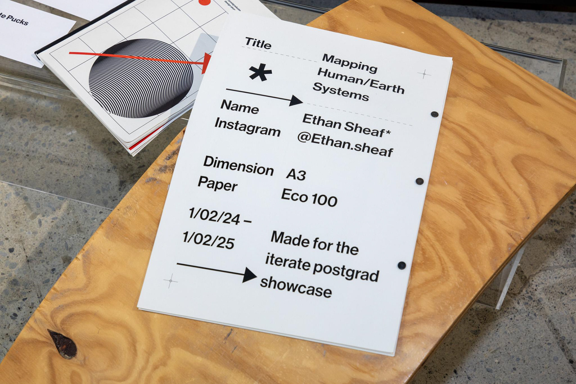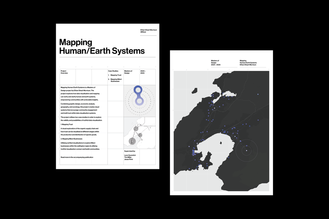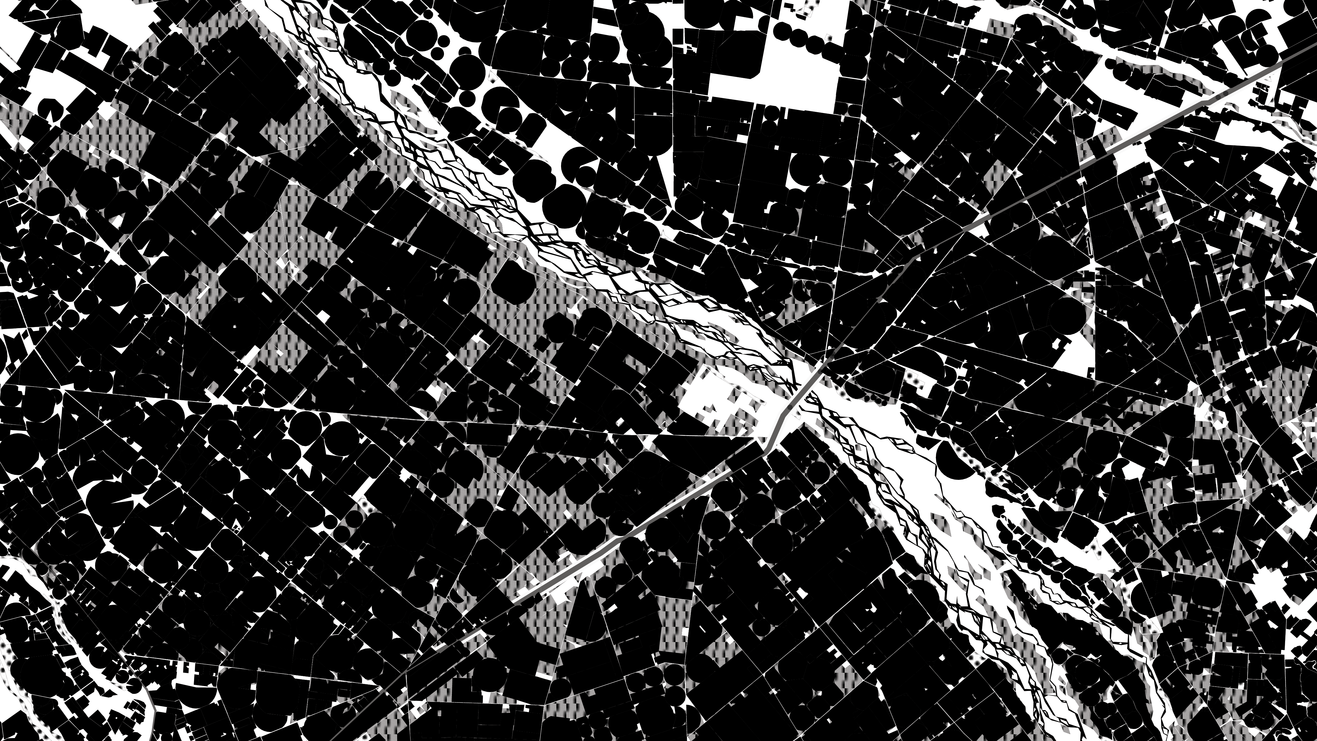
A current Masters of Design research portfolio investigates innovative methods for visualising truthful representations of complex economic, social, and environmental systems.
By focusing on indigenous mapping practices, the project adopts a critical GIS approach to map-making that questions conventional mapping paradigms and explores new ways of connecting communities.
Through dynamic visualisation techniques, this research aims to highlight localised knowledge systems and elevate indigenous perspectives, fostering a mapping process that prioritises accuracy, inclusivity, and community engagement.