Overview
We treat Google Earth as a window. It is a game engine. It loads terrain, drapes photographs over a mesh, and holds the illusion together for as long as the data allows. Push it out to the edges of its range and the illusion thins. Textures stretch, coastlines smear, and the polished surface gives way to grey-boxed ground underneath.
This project is a survey of those points. It treats the moment the picture stops holding together not as an error to be corrected but as the most honest thing on screen. Asked to show us everything, the machine quietly declines.
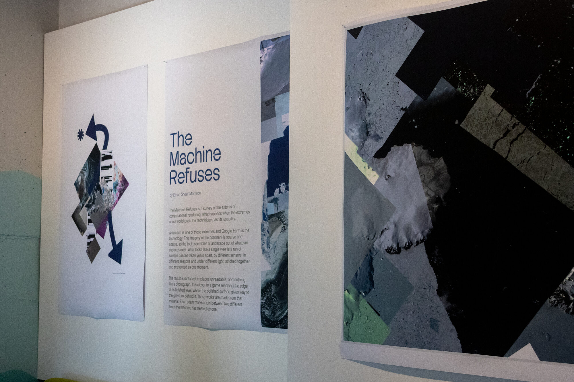
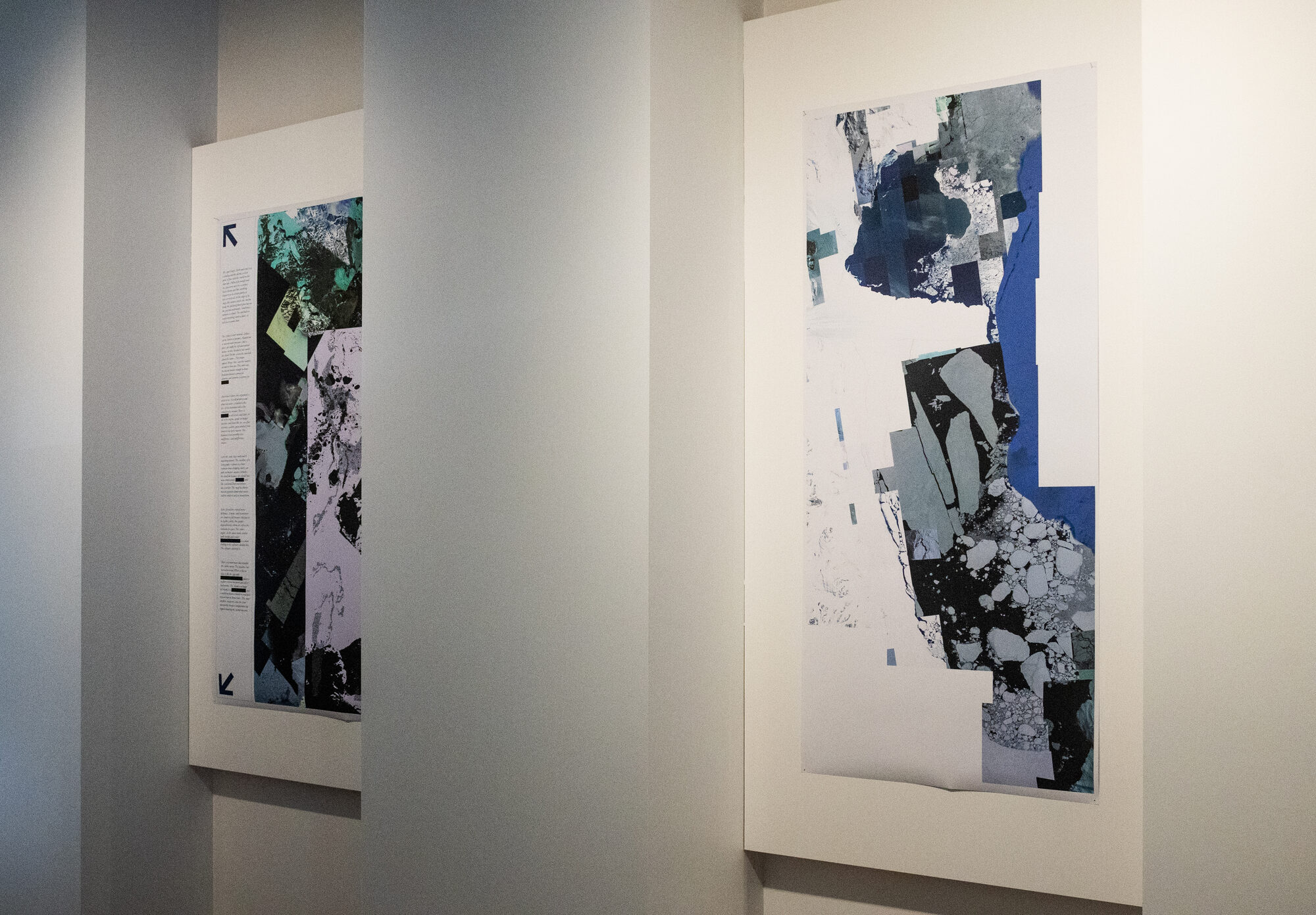
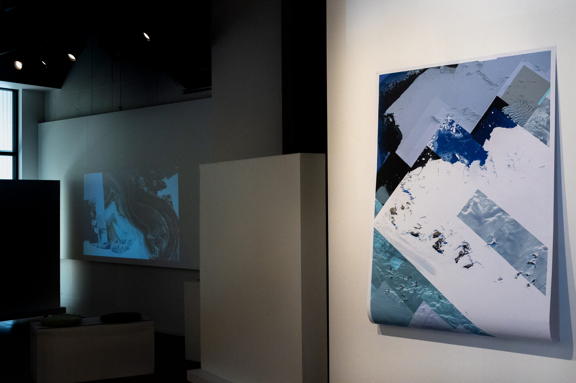
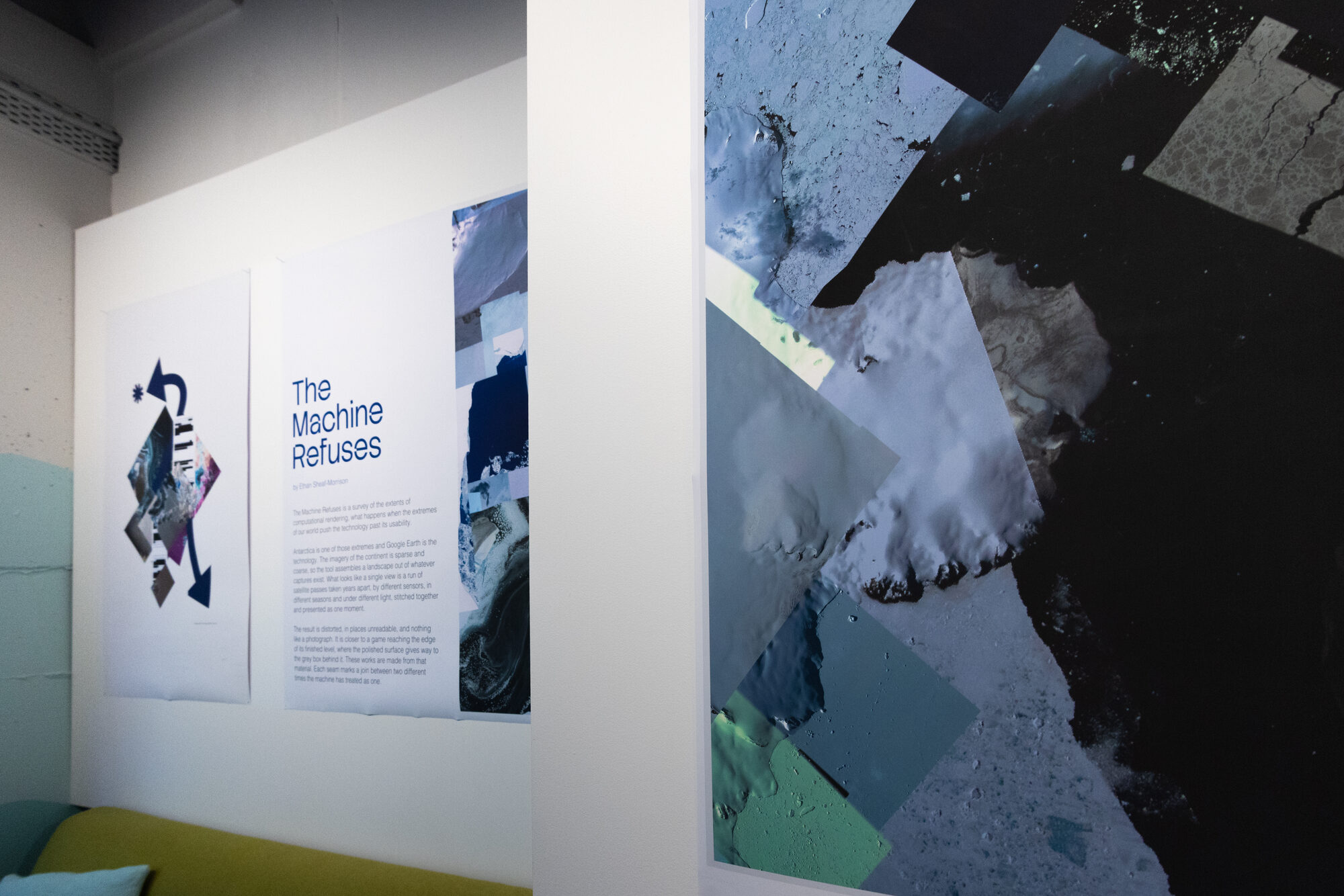
Antarctica is the technology’s extreme and Google Earth is the technology. Imagery of the continent is sparse and coarse, so the tool assembles a landscape out of whatever captures exist. What looks like a single view is a run of satellite passes taken years apart, by different sensors, in different seasons and under different light, stitched together and presented as one moment.
Four ways a picture fails
The survey sorts the failures into four kinds. A place can be hidden deliberately — blacked out, blurred along a roofline by hand, or painted over in coloured polygons. A place can be left thin because no imagery of it was ever ordered. A place can be invented, the sea floor interpolated and the gaps filled by a model that has no observation to work from. And a place can hold its own opacity, governing how and whether it is rendered at all.
On screen the first two are almost indistinguishable. The difference is in what produced them.
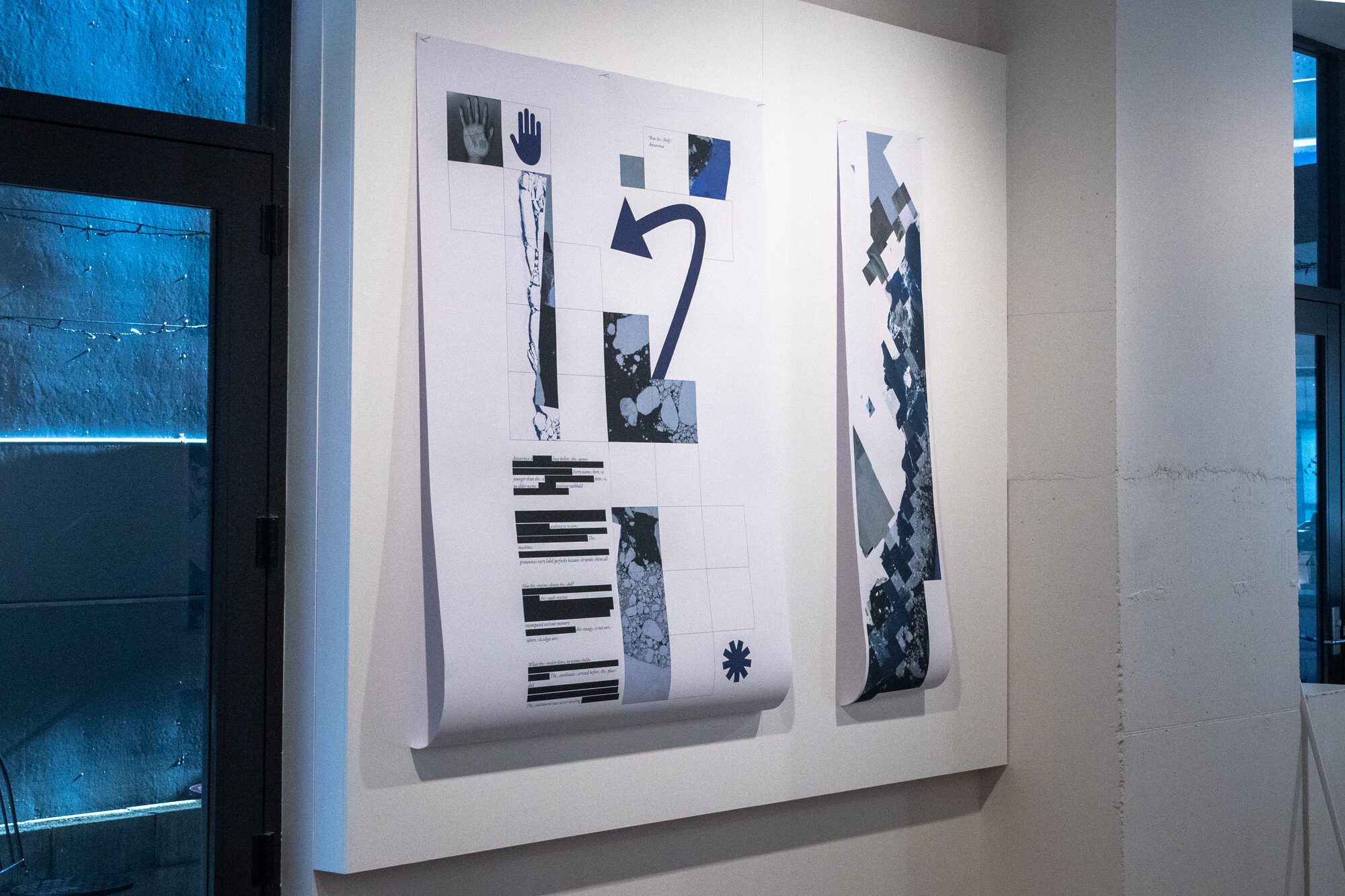
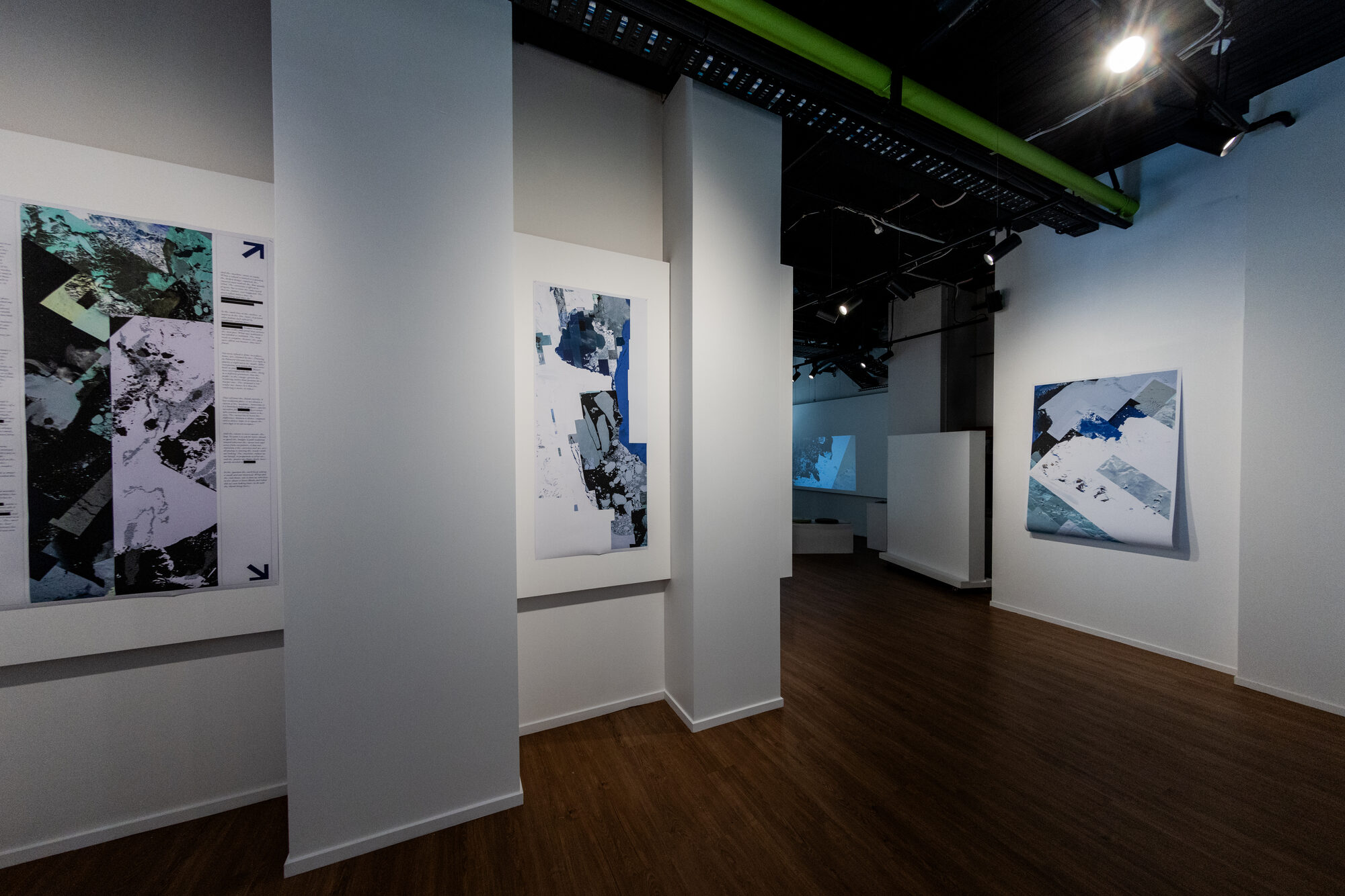
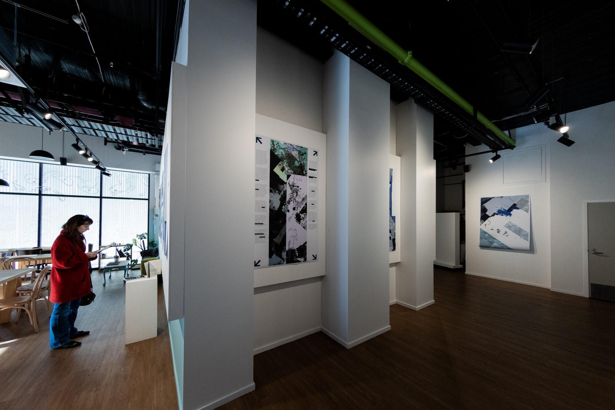
The panels set the writing directly against the material, so the reader is looking at the failure while reading the account of it. Redaction is used as a device rather than a decoration: the text withholds in the same way the basemap does.
Three sites, one mechanism
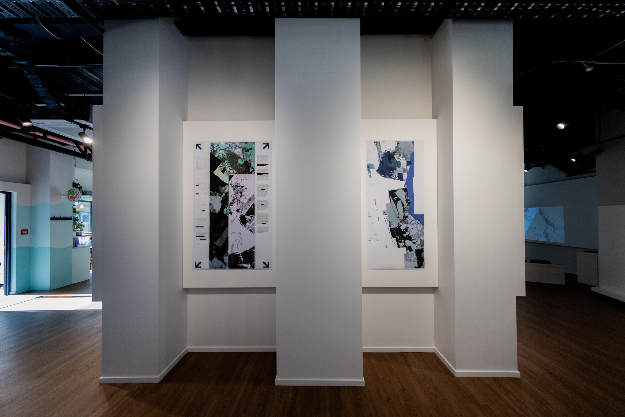
Antarctica is the limit case. A continent that is all periphery, drawn at the coarsest resolution anywhere on Earth, with small research stations rendered sharply inside it. A settlement drawn carefully inside a continent drawn badly is the whole argument in one frame.

The strange part is that the Antarctic is over-flown rather than under-flown. Sun-synchronous orbits converge at the poles, so the ice is passed more often than almost anywhere. Fine imagery is ordered and paid for, and the free basemap is assembled from what those orders leave behind. Nobody has ordered the ice.
Aotearoa and Western Sahara sit further up the same transect — one a living place carried at low resolution, the other rendered in full where there is something to extract. The mechanism is identical at three intensities.
The prints
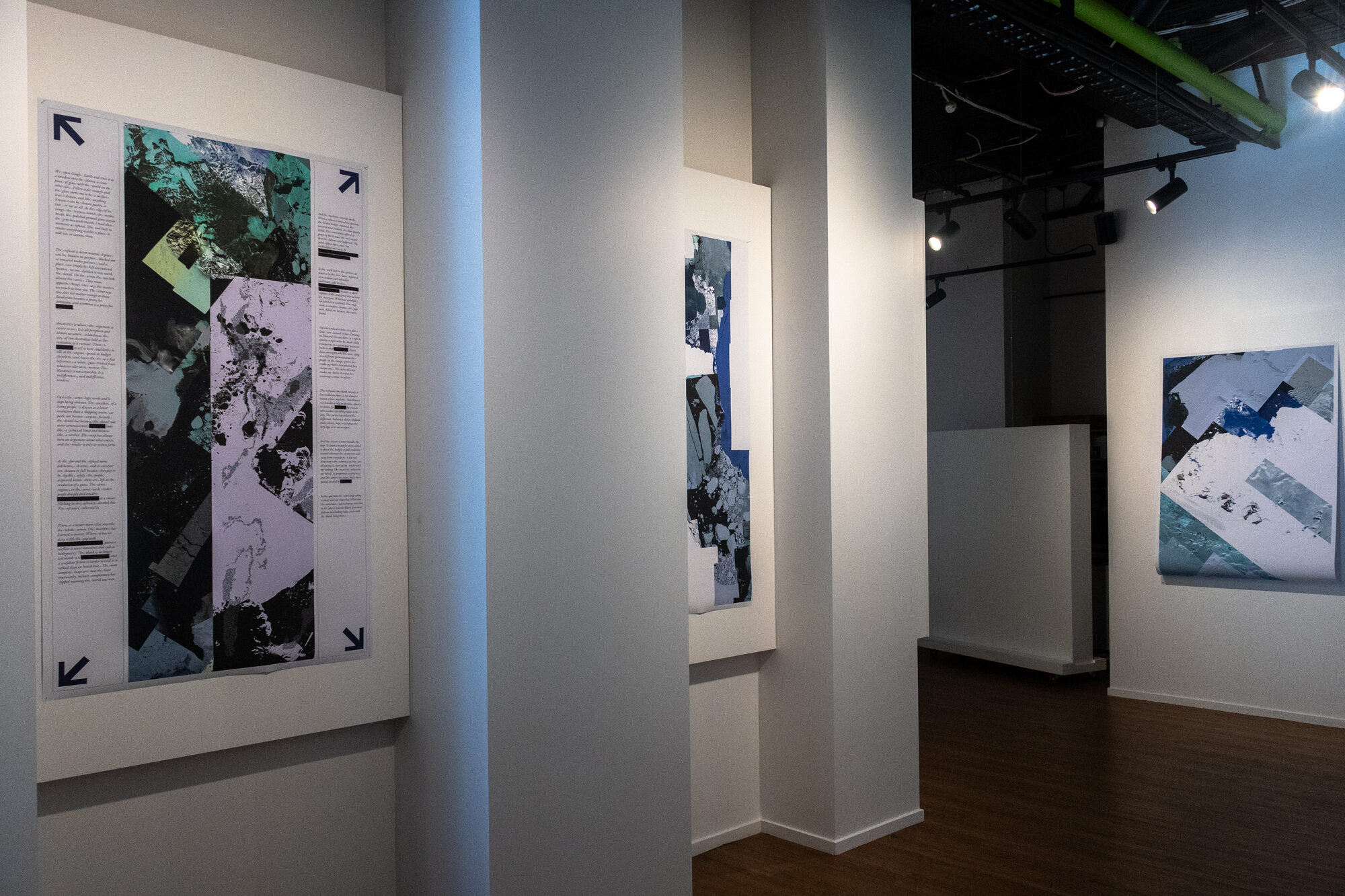
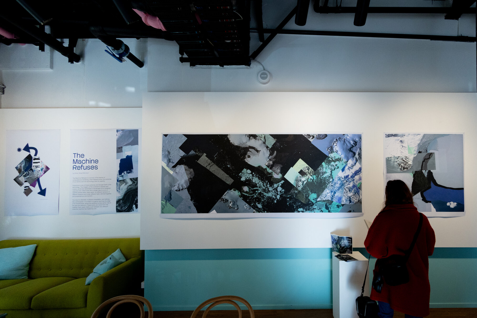
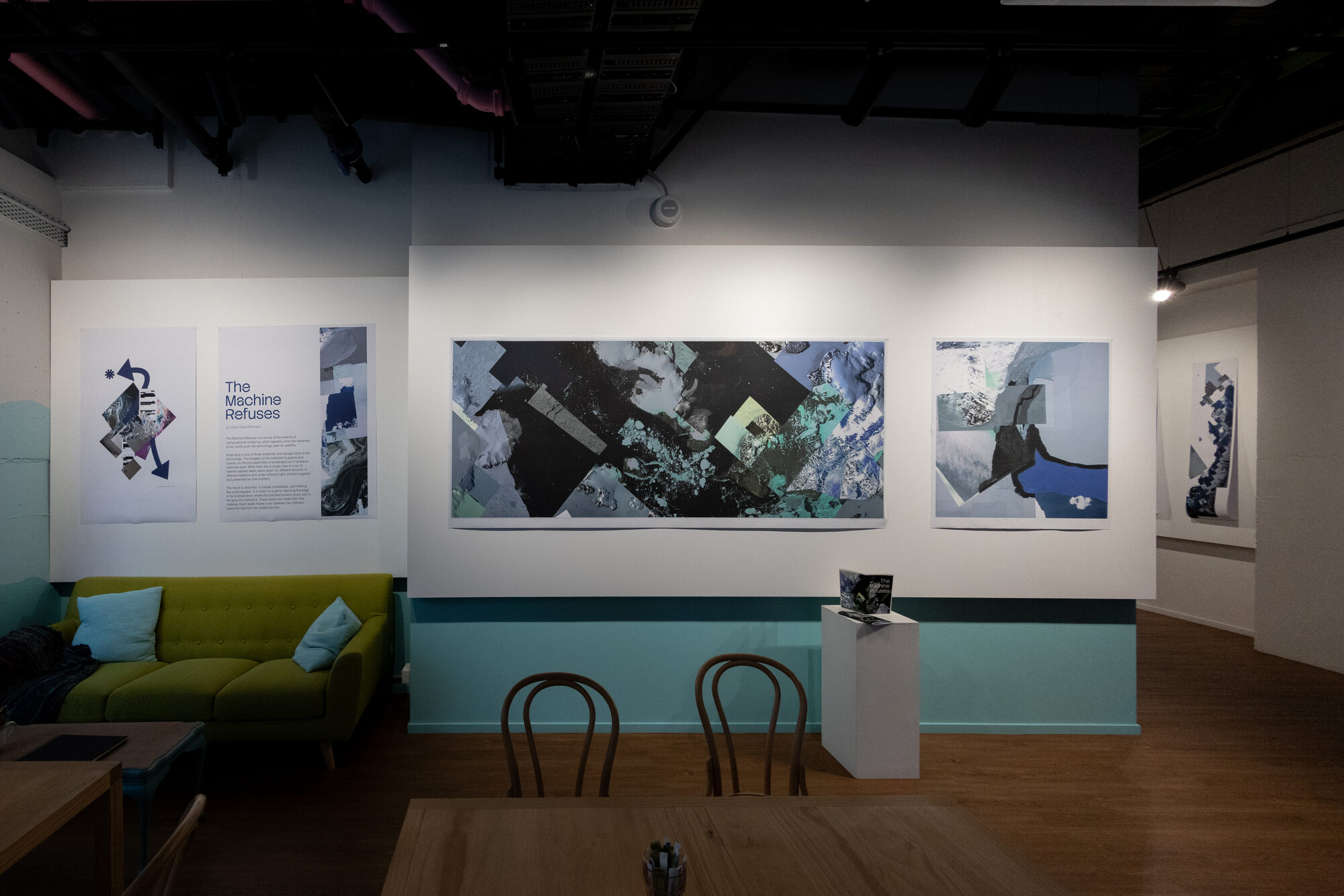
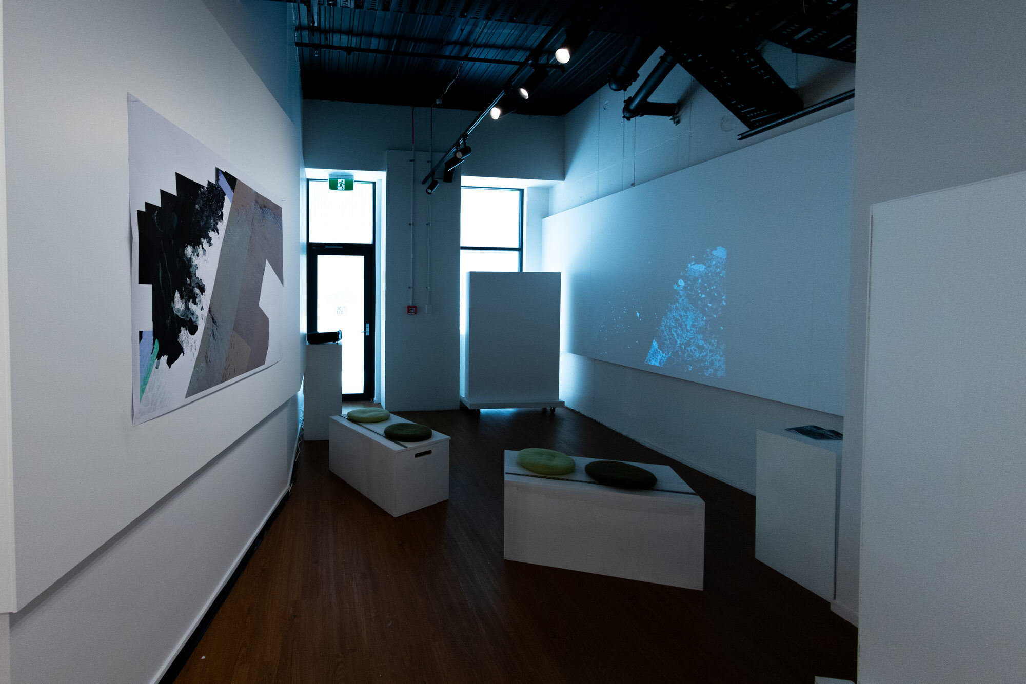
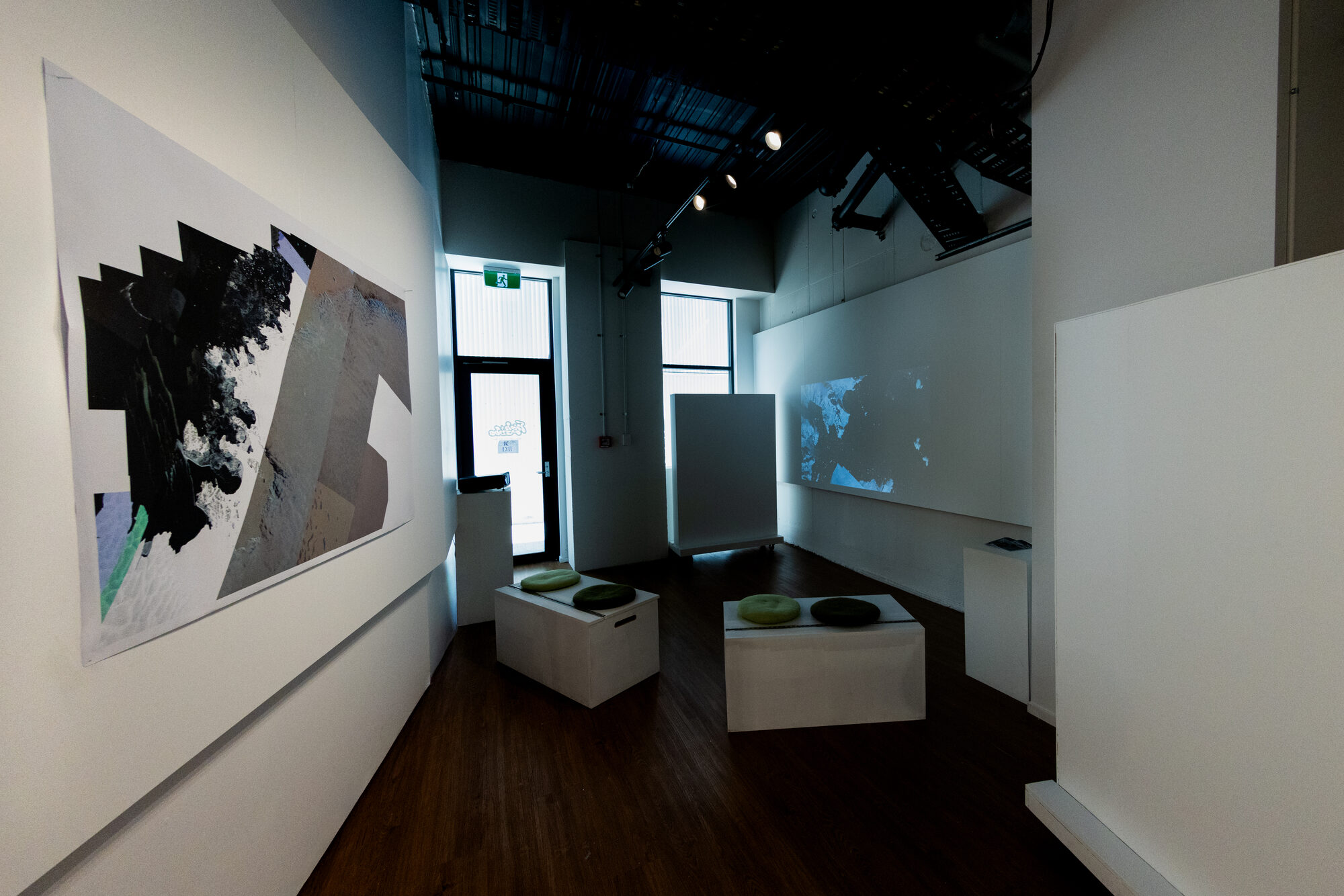
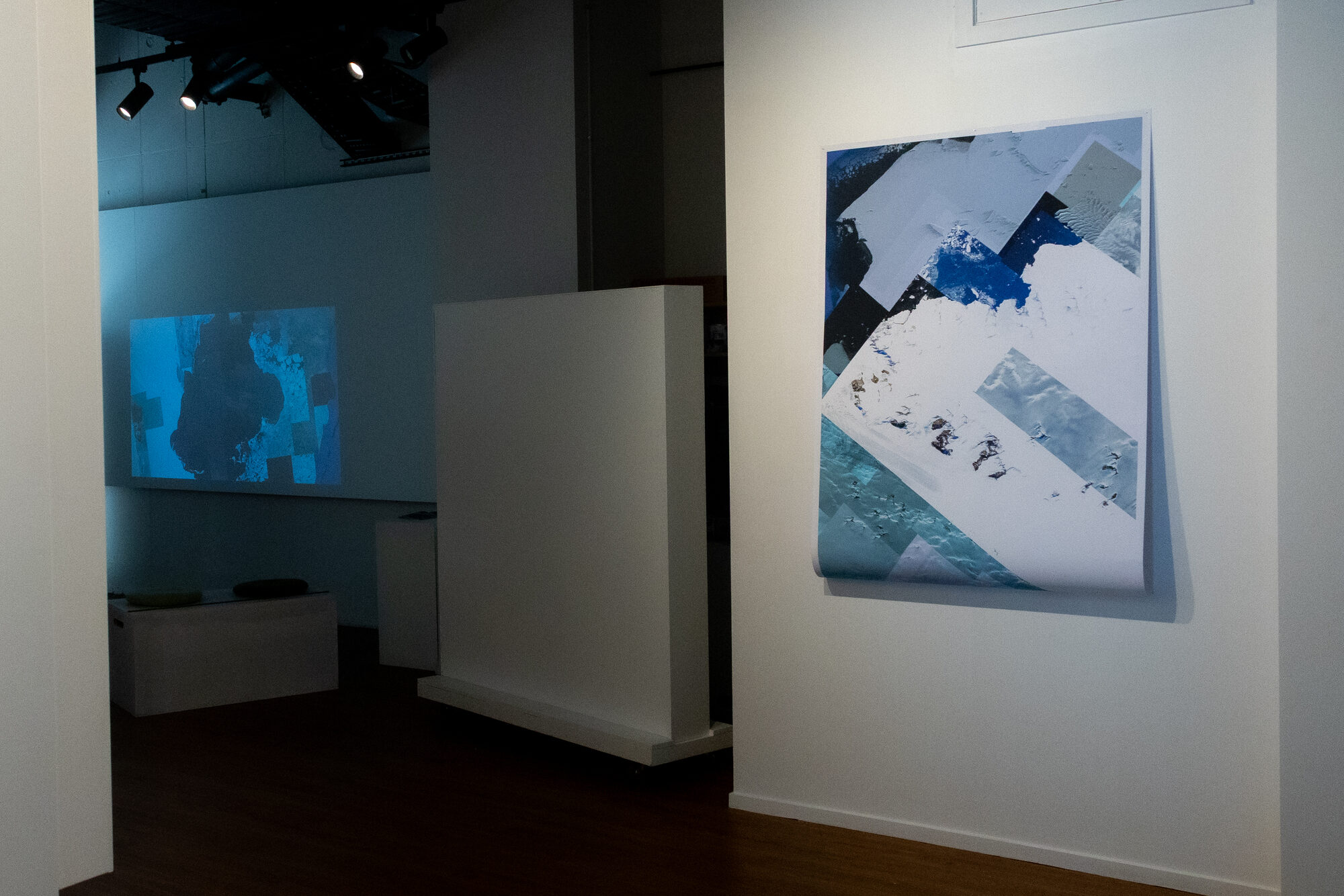
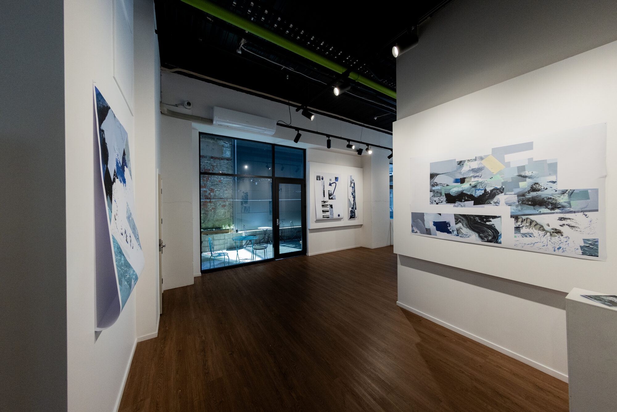
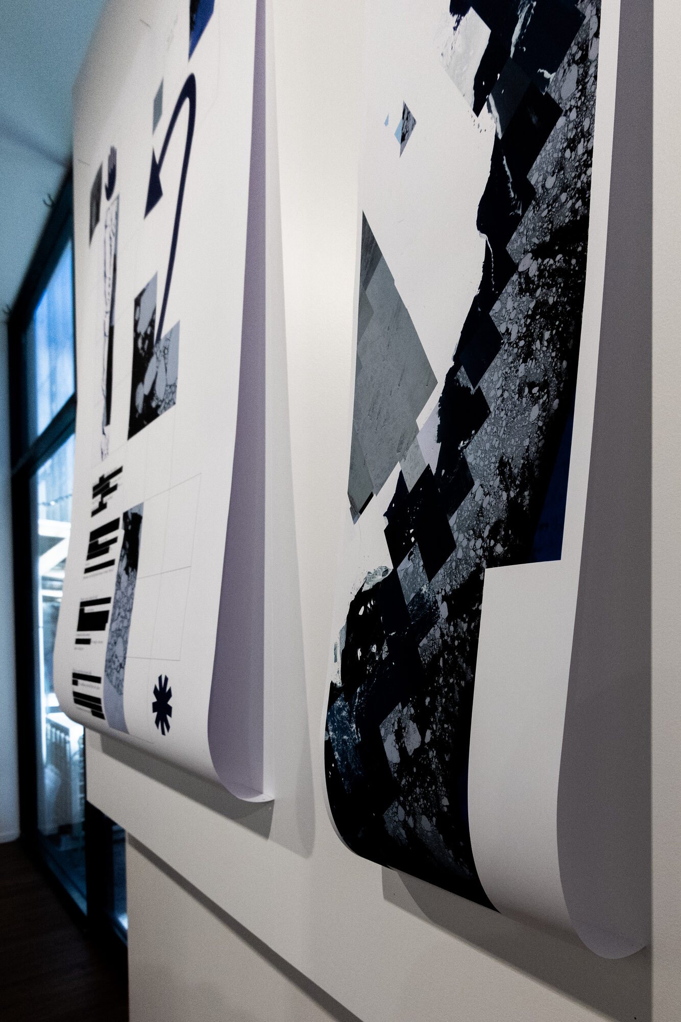
Large-format prints for the wall, sized so a viewer stands close enough to see the seam where the world becomes data. Each seam marks a join between two different times the machine has treated as one.
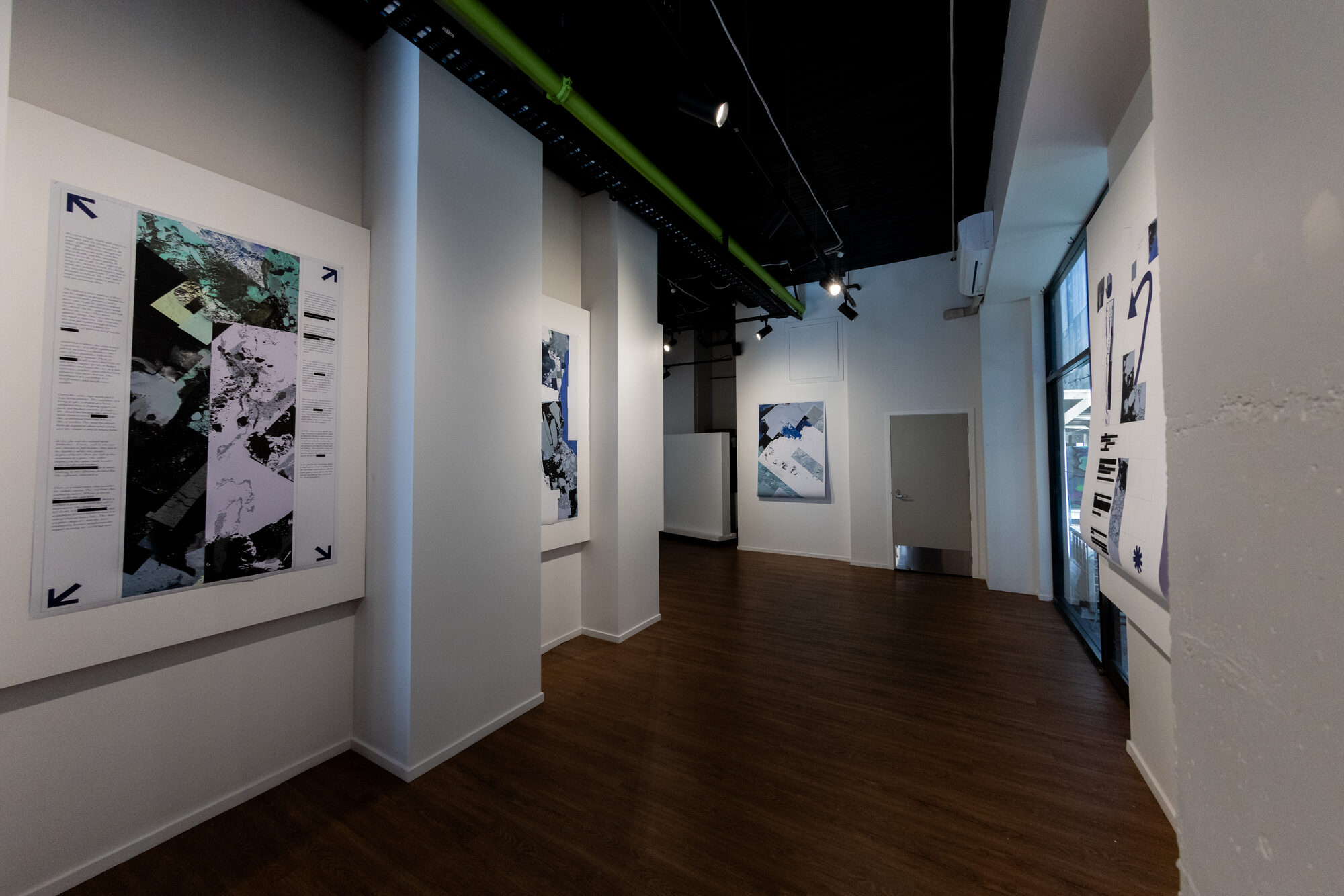
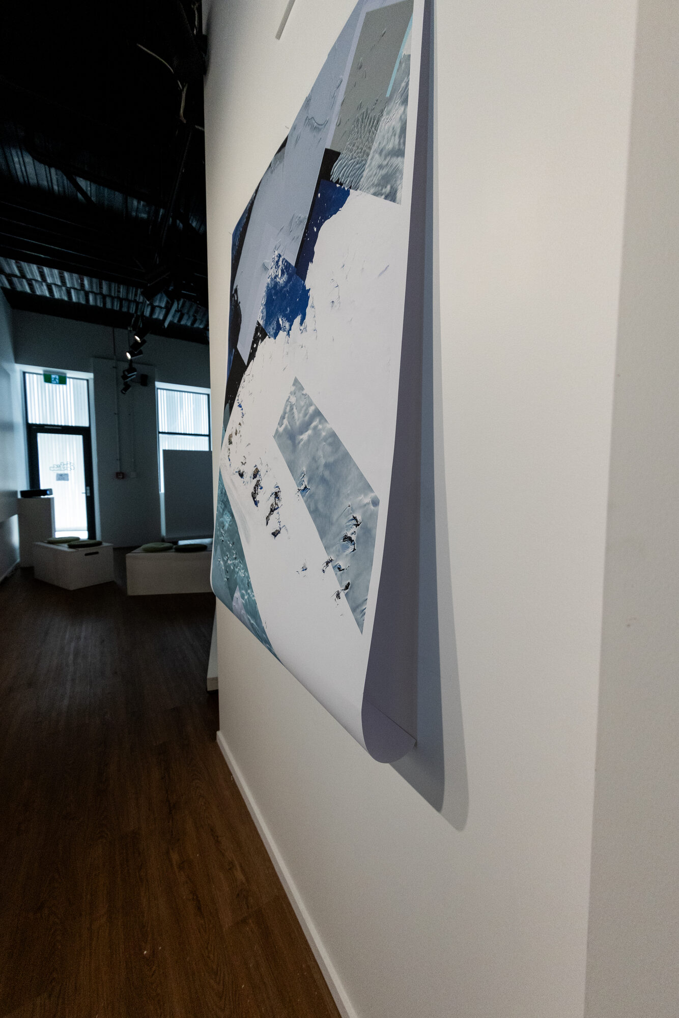
They are printed on unmounted paper and hung loose. The sheets curl away from the wall at the bottom edge, which does the same work the imagery does — it refuses to sit flat and pretend to be a window.
The publication
A printed edition runs the survey as an essay with plates, indexed by coordinate and by date — because the machine patches its failures in place and keeps no memory of having refused. The historical archive is the only place it keeps its earlier answers.
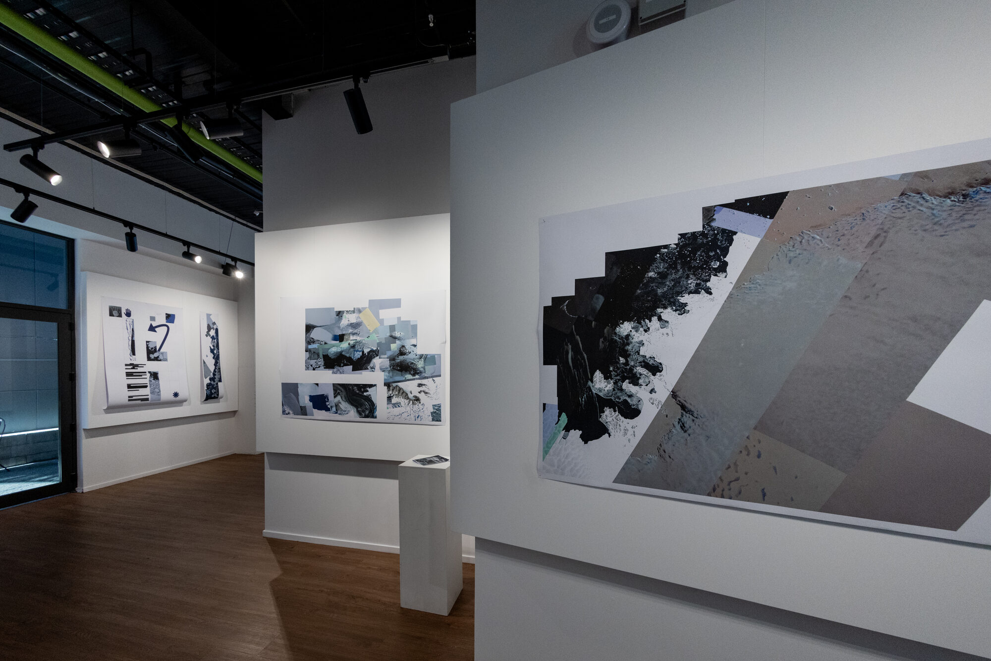
The edition sat on a plinth in the middle of the room, next to the wall it argues with, so the long-form case and the plates could be read against each other.
The exhibition
The room was not a white cube. It is a working space with a sofa, tables and a courtyard door, and the work was hung into it rather than around it — which suited an argument about pictures we look at without noticing.
The point
Photorealism is a promise the machine cannot keep everywhere at once. Antarctica is simply where you can watch it not keeping it. A street corner looks like a window. The ice looks like what the whole thing has been all along.
The danger ahead is not a machine that refuses more. It is a machine that stops showing us when it has nothing to show.
Tools
-
Google Earth and public satellite archives
-
Affinity Publisher
-
Affinity Photo
-
Large-format printing
Gallery